
A Proposal of Application Notice is a legal requirement for applicants of larger scale developments that are classified as “major” in the Scottish Planning System. Applicants must give appropriate notice to a local planning authority of their intention to submit a major planning application, including details of a pre-application consultation programme that must be undertaken. Housing developments are classed as major if 50 or more dwellings are proposed or if the area of the development site is equal to or greater than 2 hectares (approximately 5 acres). On 13th May 2022, a Proposal of Application Notice was submitted to Aberdeen City Council’s Planning Service for this proposed development, which has been given the reference 220611/PAN.
GREENFERNS LANDWARD
PUBLIC CONSULTATION WEBSITE
What is a Proposal of Application Notice?
What is the application procedure for this development?
In the first instance, a Proposal of Application Notice was submitted to Aberdeen City Council’s Planning Service, on 13th May 2022, expressing the intention to submit a planning application for this development. For an explanation of Proposal of Application Notice, please see the previous question. As part of that notice, we set out arrangements for the current pre-application consultation programme, in which we are required to give the public details of the proposal and an opportunity to provide feedback. Once the consultation has ended, we will submit a Pre-Application Consultation Report in support of any future application for the development, which will summarise your feedback and explain how your feedback has influenced the proposed development.
Who will be developing the site?
Phase 1 of the development would be delivered as social housing by Aberdeen City Council. The rest of the site would then be marketed for sale and it is envisaged that mainstream housing developers would deliver the remaining phases of development. All developers will be expected to contribute towards the development of the new primary school through contributions and/or Section 75 Agreements, alongside contributions towards the provision and maintenance of other site infrastructure.
What is the history of this site?
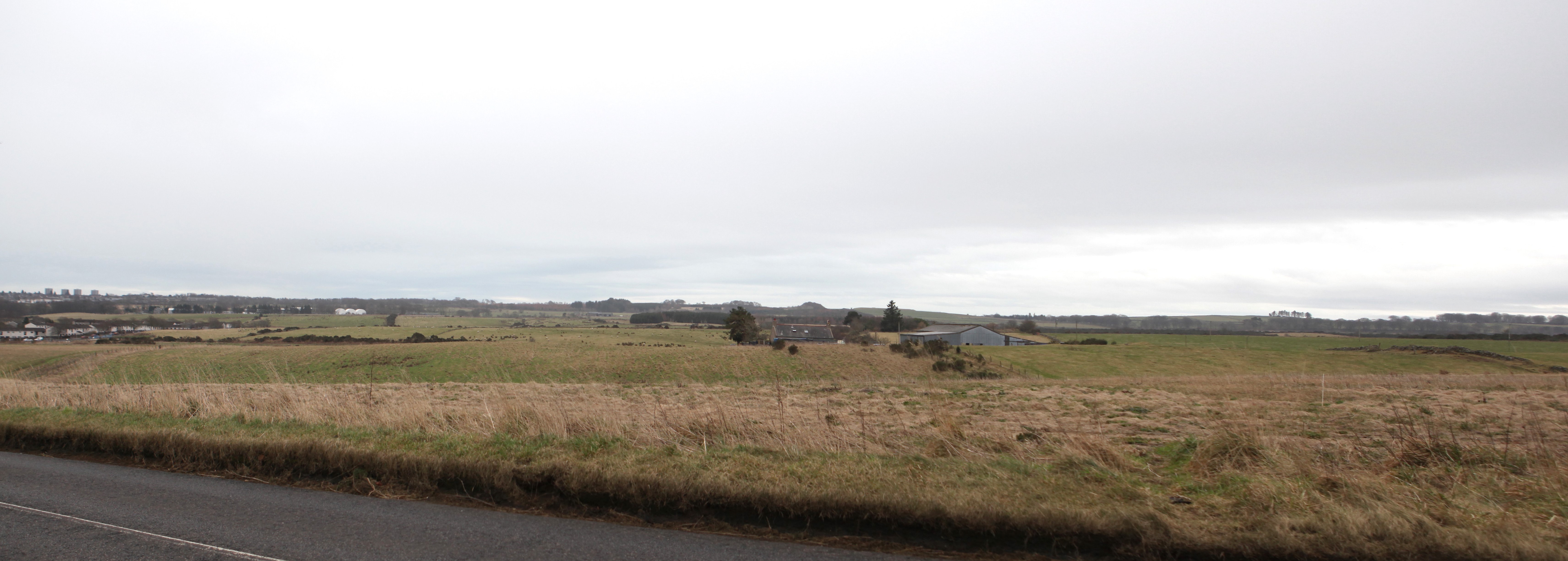
The site extends to approximately 69.6ha and is located in the Newhills area, to the northwest of Aberdeen. It is located approximately 2km southwest of the river Don and is bounded by Newhills Avenue to the east and Kepplehills Road to the north. Kepplehills Road connects with the A96 approximately 1km north of the site and this in turn connects to the recently completed Aberdeen Western Peripheral Route (AWPR) which passes some 500m west of the site. The site is under the ownership of Aberdeen City Council and is predominantly in agricultural use, with fields separated by ditches, hedges, walls and fences, with only few trees clustered in different areas.
The site forms part of the Newhills Expansion Area and is allocated as Opportunity Site OP22 within the Aberdeen Local Development Plan 2017 for around 1,500 homes. The allocation recognises the site is subject to a joint Development Framework prepared in October 2014 covering three distinct sites within the Newhills Expansion Area: Craibstone South, Rowett South and this site, Greenferns Landward. Planning applications for Craibstone South and Rowett South have previously been progressed and the sites are now being actively delivered by a number of house builders.
Aberdeen City Council is now in a position to progress an application for Planning Permission in Principle for Greenferns Landward, which will pave the way for the delivery of a sustainable, residential-led development.
This consultation is the latest stage of the site’s development, being undertaken in support of a forthcoming application that will seek Planning Permission in Principle for development of the whole site and for the preparation of a detailed masterplan for an initial Phase of development.
Why is a masterplan proposed for Phase 1?
A masterplan is proposed to ensure that a high quality layout, siting and design is achieved in the first phase of development, with the aim of setting a high standard for the rest of the site. The masterplan will help support planning decisions on future applications seeking Approval of Matters Specified in Conditions (i.e. conditions of the Planning Permission in Principle).
What type of homes will be provided?
Approximately 1,570 homes are proposed across the whole site. Around 160 homes in Phase 1 of the development are proposed as social housing, to be delivered by Aberdeen City Council. At this early stage, we are still designing the development but it is expected that a range of homes will be provided to meet different needs and demands. In the first instance, Planning Permission in Principle shall be sought. Full details of layout, siting and design of the development would then be provided in support of future applications for Approval of Matters Specified in Conditions (i.e. conditions of the Planning Permission in Principle).
Will the homes be affordable?
Phase 1 of the development is proposed as social housing, to be delivered by Aberdeen City Council. Additional affordable housing would be expected in the remaining phases of development, which would be required to comply with affordable housing policies in the Local Development Plan.
Will there be any community facilities or shops?
Yes, it is envisaged that convenience retail will be provided in the form of local neighbourhood shops. Although the siting and layout of the proposed new primary school is still being designed, it is envisaged that the new primary school would include facilities available to the wider community. There is also scope for new bespoke community spaces to be provided in the development to form a neighbourhood centre.
Where will the access be?
Access is proposed to be taken from existing public roads around the site including Newhills Avenue, Kepplehills Road, and/or the Chapel of Stoneywood – Fairley Road. New routes would also be proposed through the site as part of the proposed internal road network.
In addition to vehicular access, a number of pathways are proposed to ensure the site is effectively integrated with existing neighbouring areas. This would also ensure that the site is more readily and safely accessible for pedestrians and cyclists.
Where will children living in the development go to school?
Children living in the initial phases of development would attend Brimmond School and Bucksburn Academy. As further phases of the site are developed, the new primary school would be delivered to accommodate a share of the site’s primary-aged children.
Will there be new open space provided? If so, what kind and where?
Open space provision in the development is closely linked to the requirements of the Newhills Development Framework and Masterplan. However, that document allows for land use constraints set within it to be tailored as further site information becomes available and as each phase of the Newhills Expansion Area is developed. The layout and design of open space is therefore being explored as part of the current masterplanning exercise. The final layout and design of open space in the development will be reflected in an update of the Newhills Development Framework and Masterplan. It is envisaged that a range of open space types would be provided across the site, allowing spaces that are suitable for recreation which also provide opportunities for biodiversity enhancement, the management of surface water run-off and the mitigation of flood risk. The layout and design of open space will take influence from similar developments across the UK that have been successful. We would also like to know the kind of open space that you would like to see provided in the development.
How is additional traffic generated by the development been considered and planned for?
The planning application will be accompanied by a Transport Assessment report, which is being prepared as part of the ongoing design process. That report will include estimates of the traffic generation of the development, surveys of the existing road network and an analysis of the operation of the surrounding junctions. That analysis will identify if any measures are required to improve the operation of nearby junctions (for example by widening them or converting how they are controlled) and full details of any such measures will be included in the report.
Are existing paths being preserved?
The retention and expansion of existing pathways and cycle routes is a key aspect of the proposal; which Aberdeen City Council has been committed to with the design team. Linking up neighbouring areas is an important objective of this development – the goal certainly isn’t to provide a large-scale development that would block of use of the land or access to neighbouring areas across the land. The goal is instead to improve access but it is not envisaged that neighbouring areas would be physically “joined up” with new blocks of development and roads. Instead, link-up would be provided with pathways and cycle routes, with existing woodland and tree belts respected.
How is wildlife being protected in the development?
As part of the planning application, an Environmental Impact Assessment is being undertaken. This will involve the undertaking of detailed ecological surveys by specialists to determine the location and nature of any protected wildlife on the site (such as badgers, for example). The approach would then be to prioritise development away from particularly sensitive areas and to provide mitigation measures (such as reconfiguring open space and built-up areas) to ensure minimal disruption to habitat. Any works that affect protected species would also likely requiring licensing from Nature Scot, which is a separate legal process to the planning application.
Is this site green belt?
The site has been identified for a residential-led mixed use development in the adopted Aberdeen Local Development Plan 2017 as Opportunity Site OP22, around 1,500 homes proposed. Phase 1 of the development is proposed as social housing, to be delivered by Aberdeen City Council. The allocation of the site has been the subject of public consultation for around a decade.
The site is also subject to the Newhills Development Framework, guiding the general layout and form of development that would be suitable for the site. This document was subject to public consultation.
Aberdeen City Council is now in a position to progress an application for Planning Permission in Principle for Greenferns Landward, which will pave the way for the delivery of a sustainable, residential-led development.
This consultation is the latest stage of the site’s development, being undertaken in support of a forthcoming application that will seek Planning Permission in Principle for development of the whole site and for the preparation of a detailed masterplan for an initial phase of development, containing affordable housing.
Will there be public transport and cycle infrastructure provided in the development?
Yes – we are currently in dialogue with First regarding bus services and cycle lanes will form an integral part of any roads planning. We are also examining footpath and cycle links with adjoining areas, included the associated development at Greenferns, to ensure the development is effectively integrated with its surroundings and so that residents have easy access to other areas.
Is there a public water supply available at this site?
Extension of the public water network from Bucksburn is proposed as part of the development. Preliminary site testing relating to water pressure is being carried out, in order to assess how the water main can be integrated into the site.
Why is higher density development proposed at the east of the site, near Bucksburn?
The final mix and density of development has yet to be decided and is currently being refined. The original Newhills Development Framework identified higher density in that area, which would comprise a mix of flats and terraced housing. We will be working with Aberdeen City Council’s Housing Service to determine the final mix within the first phase of the development, to be delivered as affordable housing.